Forecasts
- Best Local Weather Forecast around
- Cliff Mass' Weather Blog
- Seattle SnowWatch Site
- Seattle RainWatch Site
- Lake Marcel Forecast
- Historical Rain Chart
Nearby Weather Stations
- KWADUVAL4 (Big Rock and NE 123rd)
- KWADUVAL18 (Big Rock and Odell Rd)
- KWADUVAL12 (Big Rock 124th/291st)
River and Flooding Information
- Floodzilla - 124th
- Floodzilla - Snoqualmie
- Western Washington River Forecasts
- Snoqualmie River Flood Info
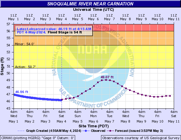
- Snoqualmie River at Carnation
- (a couple miles upstream from where our two main routes out, 124th and Woodinville-Duvall, cross the valley. When this hits about 57' 124th goes underwater and at about 62' Woodinville-Duvall is submerged. Even if it doesn't hit these the roads may go underwater, as these numbers were taken when the river was still rising and I'm not sure of the time lag so couldn't back it down to the actual heights which would later cause downstream flooding.)
-
- Snoqualmie River in Duvall
- (When this hits about 38' 124th goes underwater, when it hits 42.5' Woodinville-Duvall Rd is submerged. Same caveat as before, except in reverse - by the time this hits 38' 124th is already underwater...)
-
- Northwest River Forecast Center - Snoqualmie River near Carnation
 at N.E. 124th St.'))
)
'))